Welcome to Tsegyalgar East
The North American Center of the International Dzogchen Community
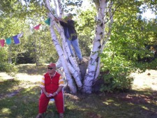
Tsegyalgar East, based in Conway, Massachusetts, is the first North American seat of the International Dzogchen Community founded by Chögyal Namkhai Norbu. It consists of a large multi-use building and adjoining Gonpa in Conway, and Khandroling, 220 acres of mountaintop land, in Buckland Massachusetts. Khandroling is located 12 miles northwest of Conway, Massachusetts. Learn more>>

